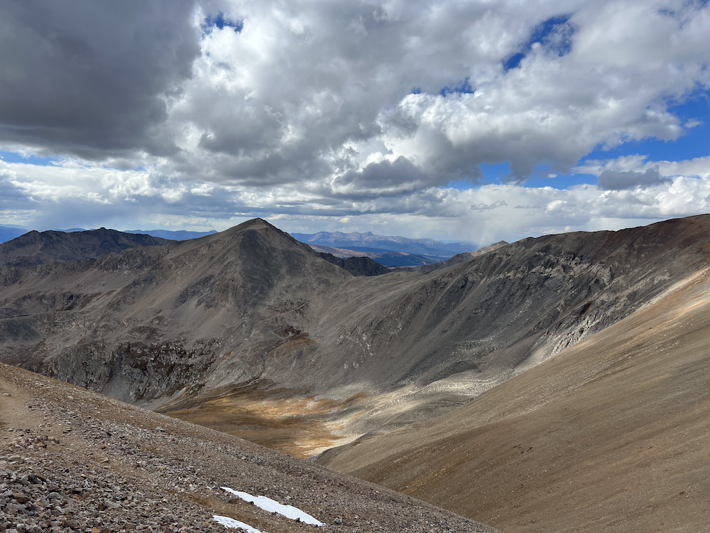
My friend Bruce invited me to do a day hike of four 14ers, Mt Democrat, Mt Cameron, Mt Lincoln, and Mt Bross, called the Decalibron. Before and after the hike, we stayed at his place in Frisco. The trek is a 6.89-mile loop with two short out-and-back segments. We would travel the day before to Bruce’s Frisco place and then hit the Kite Lake Trailhead outside Alma, CO.
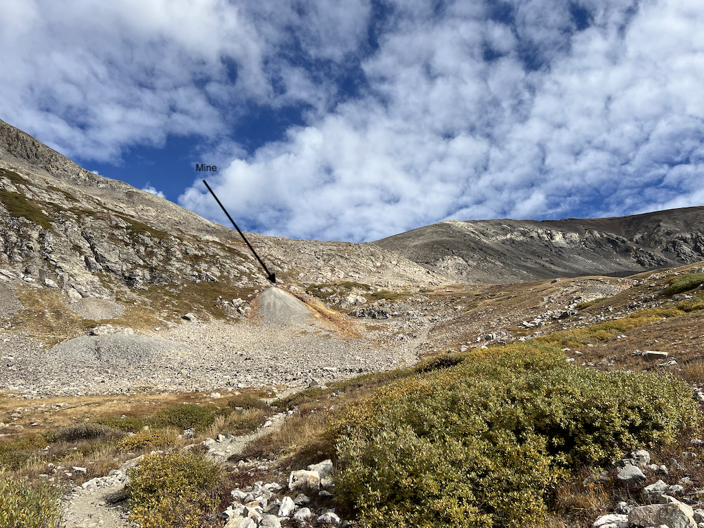
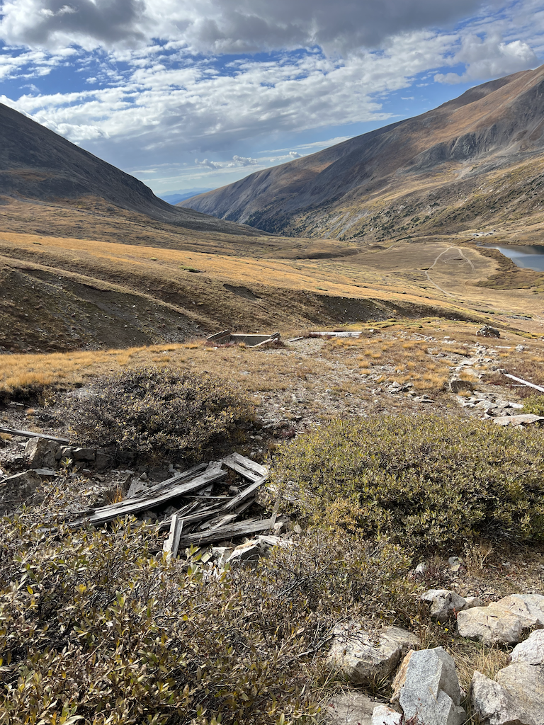
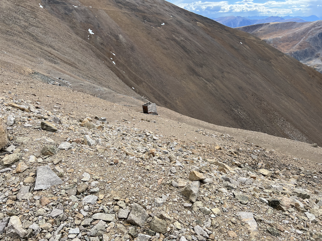
The summits of these mountains are all on private land because this area is full of mining claims from up to 150 years ago. As recently as 2020, access was briefly closed to the summits because the owners felt legal exposure for accidents when they observed some hikers ignoring No Trespassing signs (https://www.durangoherald.com/articles/landowners-shut-down-access-to-three-colorado-fourteeners/). As of this writing, all the summits are open except for Mt Bross which is still closed. Thankfully, mountain clubs and the city of Alma have been working with the owners to keep open access. The following photos show that mining shafts near the trail provide easy access for dumbasses.
The trailhead is at 12,020 feet, and the total hike has 3,372 feet of ascent. The route did not seem too difficult; however, I underestimated the effect of trail conditions. I thought we could do the trek in 4.5 hours based on a hiking speed of 2.25 mph and adding 0.5 hours per 1000 feet of ascent, but I was wrong. I calculated the estimate based on class 1 trails, which do not consider trail conditions. The trip took us 7 hours, and we skipped Mt Lincoln because of time.
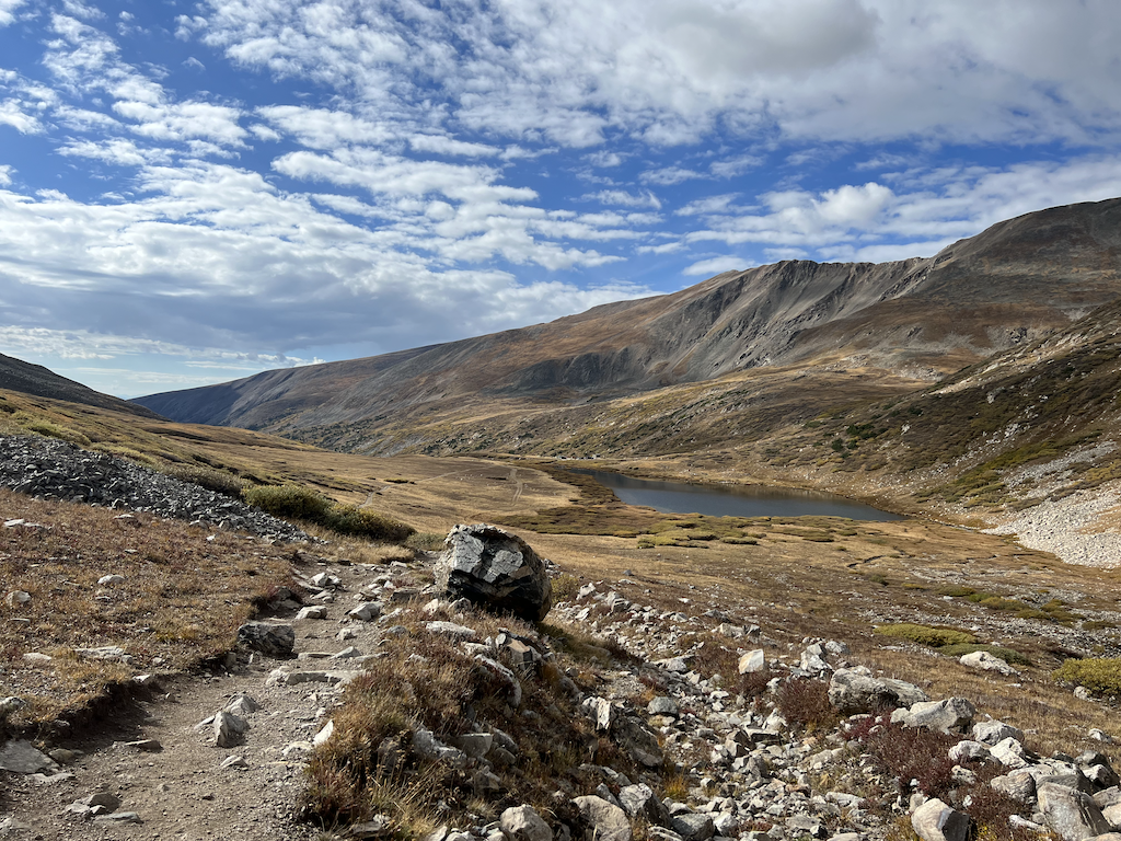
We had plenty of water and food, although I should have drunk more. I brought layers of clothing, and the temperature caused me to put on my puffy jacket and gloves in some sections.
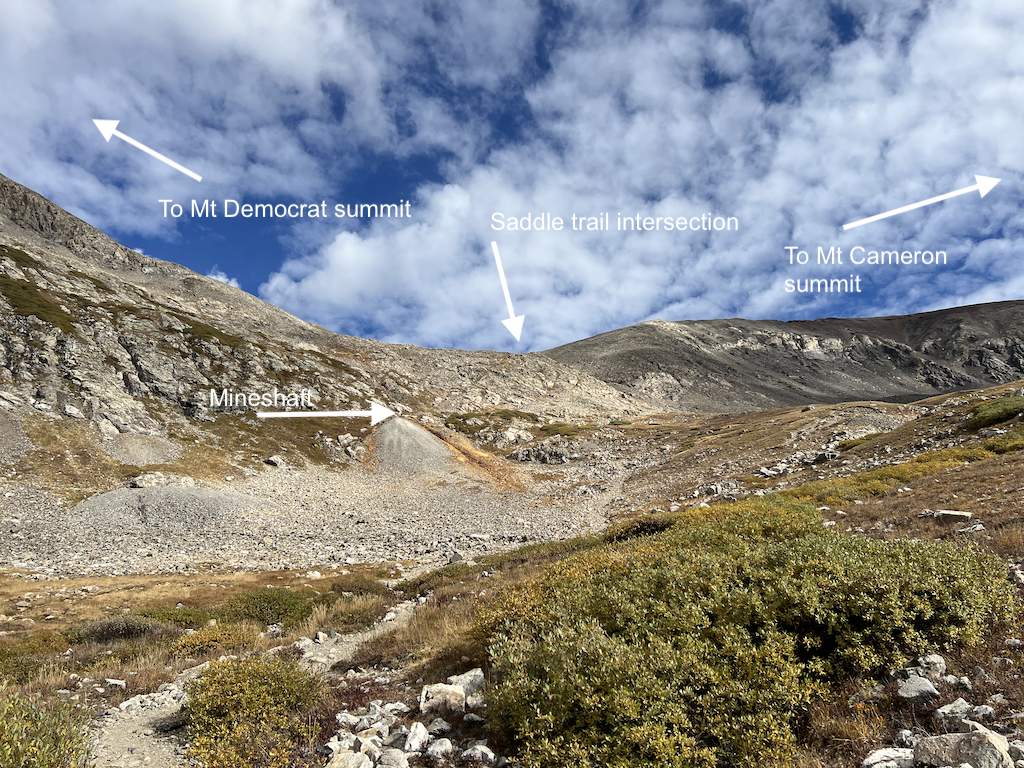
From the trailhead, the first mile is a gradual climb on a good trail. Then the way gets rocky and steeper up to the trail intersection between Mt Democrat and Mt Cameron at 13,700 feet. Taking a left at the juncture starts the trail up to Mt Democrat, a class 2 up to the false summit. There is a short plateau and then a short class 1 climb to the top. The climb from the saddle to the summit of Mt Democrat is about 700 feet of ascent.
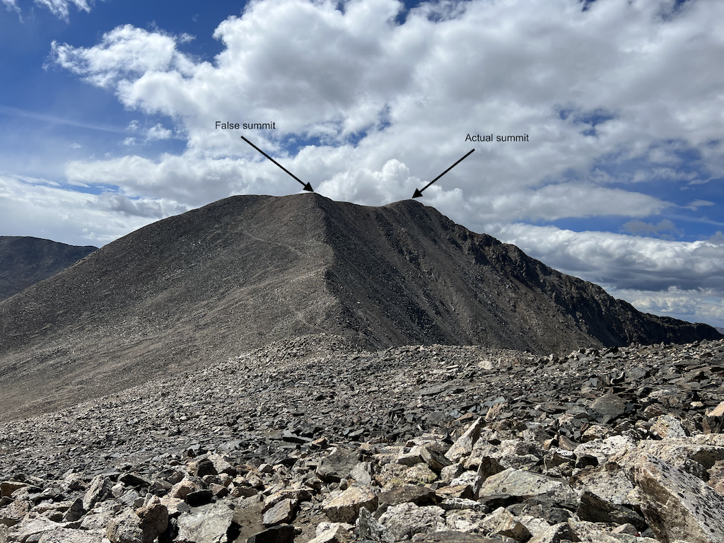
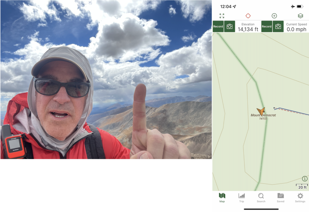
Before starting the ascent of Mt Cameron, Bruce and I had lunch for 30 minutes. I didn’t eat and drink enough during this break. My lack of appetite probably was because of the altitude. (I know better and should have forced myself to eat and drink.) The climb to the top of Mt Cameron is 700 feet. Mt Cameron is not an official 14er because the prominence is less than 300 feet. Because the trail junction between Mt Lincoln, Mt Bross, and My Cameron is 100 feet ascent, the prominence is 100 feet. Since we climbed 700 ft to the Mt Cameron summit, I counted it 😉
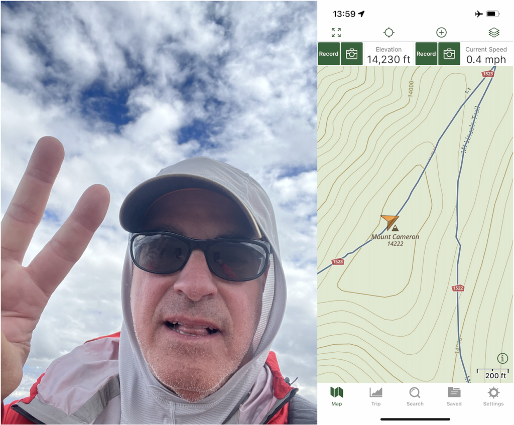
The ascent of Mt Cameron is class 2, but the top and descent towards Mt Lincoln is class 1. It was cold because of the wind. At the trail intersection to Mt Lincoln and Mt Bross, Bruce and I decided to skip Mt Lincoln because we were too slow, which would have caused us to drive in the dark from the trailhead on rough roads.
The trail towards Mt Bross is open; only the summit is closed. We could legally reach within 70 feet of the top, 14,178 feet, on the path alongside the peak. Initially, the Mt Bross trail was the best we had all day, but after the summit, the route was talus, scree, loose rock, and steep track. The rugged trail slowed me down because each step was slippy.
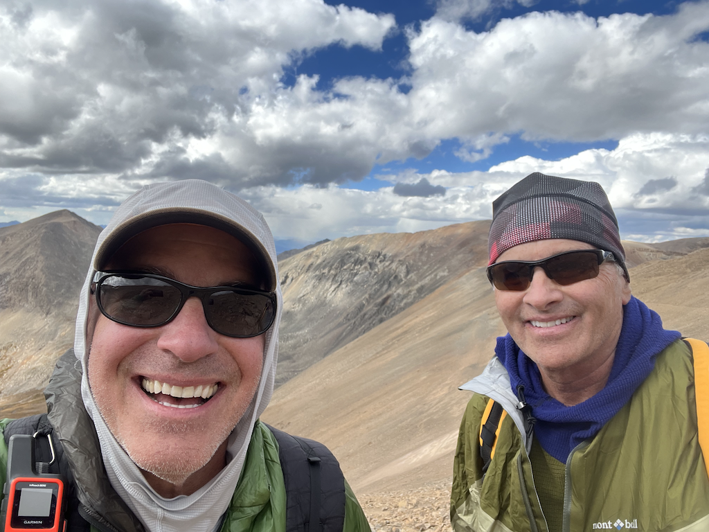
There was one section of the trail where we had to scramble because the path was washed away or never defined, but that was easy since we could see where we were going, and the trail was not steep.
“The descent was rocky with scree and, in spots, very steep. Bruce once pleaded with the mountain to give us some dirt on the path so each step would be more straightforward. I had the temptation to bushwhack and find a better trail with fewer rocks. I was glad I did not because the bushwhack would have resulted in being”cliffed-out” and more difficult backtracking than staying on the trail.”The descent was rocky with scree and, in spots, very steep. Bruce once pleaded with the mountain to give us some dirt on the path so each step would be more straightforward. I had the temptation to bushwhack and find a better trail with fewer rocks. I was glad I did not because the bushwhack would have resulted in being “cliffed-out” and more difficult backtracking than staying on the trail.
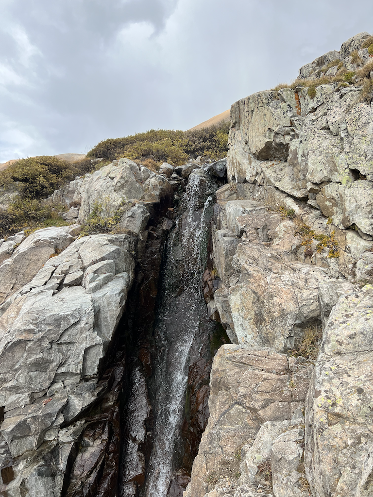
Bruce got his wish about three hundred yards from the TH since there were fewer rocks and more dirt and grass on the trail. This hike was type-2 fun. I regret missing Mt Lincoln and am looking at another route to do it. As some might know, I am irrationally afraid of heights, but the three summits we accomplished have broad, almost level, vast areas.
Doing all four in a single day would require starting by 7:30 am. There is a small camping area near the trailhead, and car camping can facilitate an early start. Bruce and I were lollygagging and started late since I gave a poor estimate of the time required by underestimating the difficulty.
Lessons Learned
I must consider trail conditions when estimating hiking duration. Class 1 trails exhibit sure footing on a good route, which may be steep but not steep enough to put your hands down. Class 2 routes involve hiking in exposed conditions with loose rock, steep scree, and talus, affecting both ascent and descent speed. Snow, ice, and mud may make some class 1 trails class 2. I slow down when descending on class 2 tracks since I measure my steps rather than bound down the drop. Much of the path was class 2, so I should have estimated 1.5 mph for the hiking rate.
