My spring 2021 trip to Canyonlands National Park was amazing. I went to Horseshoe Canyon and Druid Rock in The Needles district. I enjoyed myself, but I realized Canyonlands has more to see. For this trip to the Needles District in Canyonlands NP, I am going to Chesler Park and Lost Canyon. Some say Chesler Park is the most beautiful Needles District section, and Lost Canyon is gorgeous for this slick rock and hiking challenges.
Like all national parks that require backcountry permits, the NPS encourages early applications, so I applied for a backcountry permit in early May of 2021 for a late September entry. These dates should be temperate and above freezing at night. Requesting early increases my chances of getting good campsites, too.
Since all waste, including human waste, MUST be packed out, I used WAG (Waste Alleviate and Gelling) bags for pooping and carrying until I can properly dispose of them. WAG bags contain chemicals that improve the decomposition of waste, allow me to dispose of bags in trash cans, and reduces smell and liquids. I admit that I am not thrilled about carrying around my poop, so to limit this joy, I spent one night between returns to a garbage can. Therefore, I kept my Chesler Park and Lost Canyon routes separate such that I moved to a different trailhead (TH) in my car. Since there are no reliable water sources, I’ll refill water and hydrate when I move trailheads.
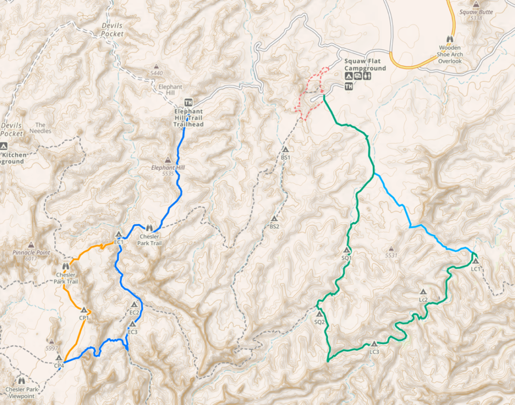
On the map, there are two routes and four colors. On the left route, the orange line is the outbound from the Elephant Hill TH, and the blue line is the homeward-bound route, which overlays the orange trail. On the right, the green line is the outbound route from the Squaw Flats TH, and the light blue line is the homeward-bound route, which the green line covers. On the map, the hikes are clearly and purposely separated so that I will drive from Elephant Hill TH to the Squaw Flats TH.
My permit was to enter on Sep 23 at the Elephant Hills TH and camp at Chesler Park 2 (CP2). I then hiked out to dispose of trash, get water, get supplies, move to the Squaw Flat TH, eat, and hike to the Lost Canyon 1 (LC1) campsite. The next day, I need to hike out to Squaw Flats TH.
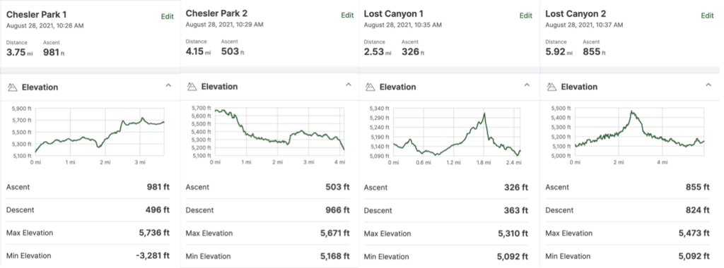
Below are summaries of each backpacking segment. Chesler Park 1 is the hike in, and Chesler Park 2 is the hike out. I try to make loops so the distances and ascents are different. Lost Canyon 2 is the hike in, and Lost Canyon 1 is the hike out. I wanted to have one day be a longish hike, so I did Chesler Park 2 and Lost Canyon 2 in one day.
The drive was in great weather, and I arrived at the Super Bowl BLM campground before 17:00. The campground had just a few people. I set up camp, read, had dinner, and retired around 20:00, listening to a podcast.
I knew I had plenty of time since my hike to Chesler Park was less than four miles. I packed up for this overnight and headed to Canyonlands National Park around 08:30 after having some oatmeal for breakfast. I wanted to get to the Elephant Hill TH reasonably early in case TH parking was filled.
The drive to Elephant Hill TH was on a narrow dirt road. I got to the TH around 09:30 and started hiking. Whoops! I walked about 500 meters and realized I had forgotten my trekking poles, so I headed back to the car to get them. I need my trekking poles for setting up my tent. I started again. The hike from the TH was initially steep and got my blood flowing. Once I got to a view, I looked around and took some photos and videos. Another solo hiker passed me. He packed for a day hike.
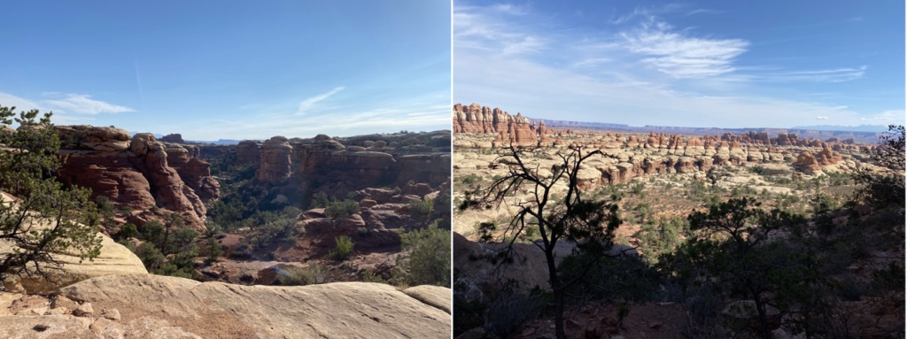
I caught and passed the day hiker 15 minutes later, and then he passed me as I took another video. A few minutes later, I caught him as he was looking for the next cairn on slick rock. I, too, did not see the cairn, so I pulled out my iPhone, started GAIA, and saw that we were slightly off the trail. I pointed out where we needed to be and found the cairn we both missed.
We introduced ourselves. Stephen was his name, and he was from Seattle. He came down with his wife, who does not like hiking and is hanging out and reading at the TH. We hiked on and chatted. There were a couple of spots that required some light scrambling. I met two women from Oakland who had spent the night before at the CP1 site.
I started another climb and got to my campsite at about 11:00, a very short hike.
I set up my tent at CP2 and put my food (in my OutSak) into an eroded cubby about shoulder high in a giant boulder near my campsite so my food would not tempt critters. I put my pack into my tent and took a water bottle, and headed back out on the trail to the Chesler Park viewing area, about ½ mile away.
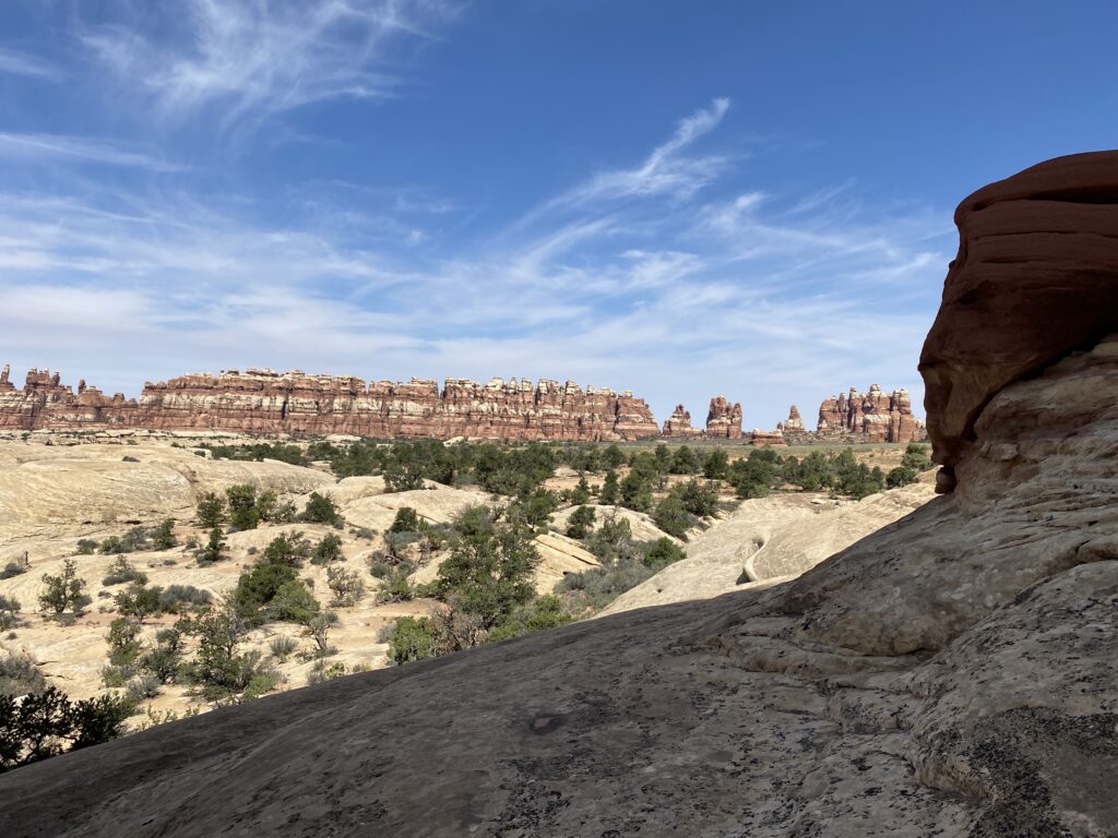
The viewing area was excellent, and hiking around Chesler Park was fantastic. Once I got back, I made lunch that consisted of tortillas and nut butter. I washed it down with some Liquid IV electrolyte drink. I then leaned against a tree a read for an hour.
The wind picked up, disturbing my reading, so I oriented my tent to have the windward side point into the wind. The wind picked up more and more, so I checked the weather for my location using my InReach. The weather was for gusts to 10 mph. The gusts I was experiencing were closer to 25 mph. I scouted for a spot in the wind’s lee and moved behind the massive boulder to the right in the video. I could not use my stakes because the site was level, but on rock, so I collected enough heavy stones to plant my tent using them.
While moving, I weighed my Polycro groundsheet by rocks at the four corners. The wind gusts were strong enough to rip a hole in the center of the groundsheet. Ugh! The groundsheet was still usable and would partially protect my tent floor and sleep pad from sharp rocks and thorns, but I would need to replace it, hopefully with a stronger one.
I hid from the wind for the next few hours, reading and scouting the area. Several groups of hikers and backpackers passed by, not noticing me. Some had camped at CP3 under trees and in front of a huge boulder. My site was between two huge boulders, which funneled the wind between the boulders.
My hike out of Chesler Park was on a different route, a little over 4 miles. I like hiking in the mornings and decided to have breakfast at the TH instead of cooking at camp. The hike out would take less than 2 hours. I had a bar, packed my tent and quilt, and hit the trail before 07:30.
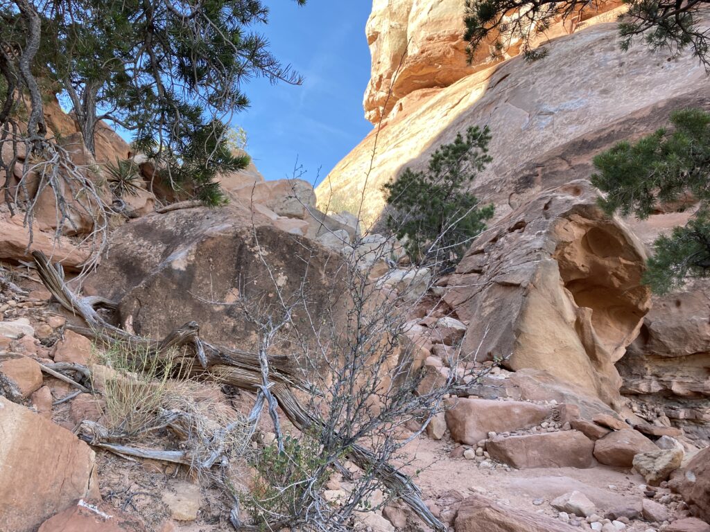
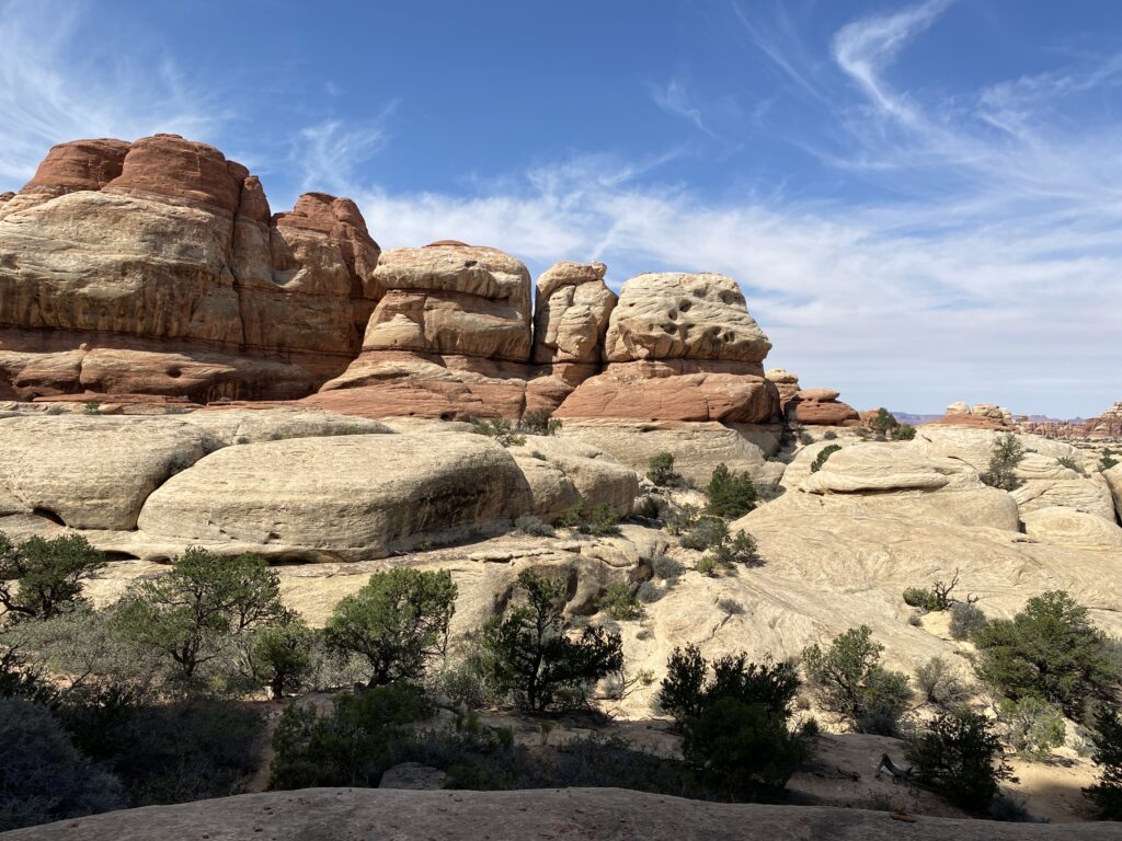
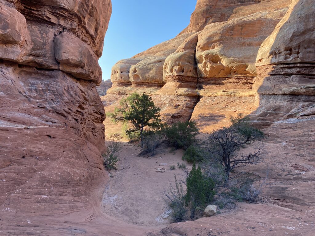
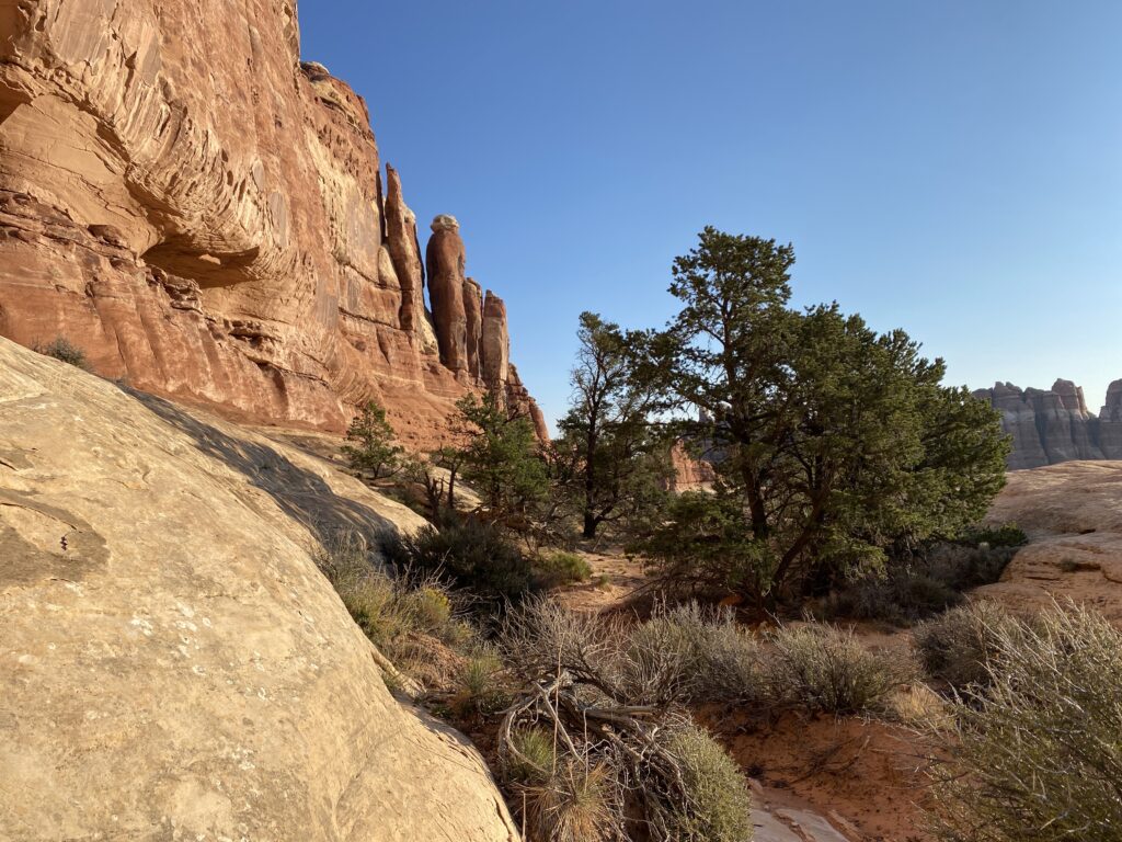
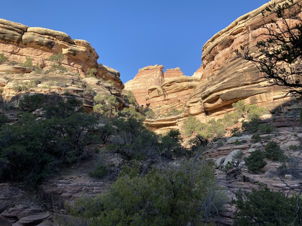
The hike was fantastic. I took the Joint Trail. After crossing a short flat section, I had to scramble up a small rock canyon and traverse along the slick rock. I then hiked until I had to climb a small rock leading to a rough canyon. I entered the canyon and had to scramble down some rocks until I entered Elephant Canyon. The Joint Trail then dead-ended into the Druid Arch Trail, which I had done on my previous visit. The Druid Arch Trail ended at the Chesler Park Trail, which led me back to the Elephant Hill TH and my truck.
At my truck, I drank water and had some oatmeal. I did not need to use my WAG bag on this segment!
I drove to Squaw Flats TH, about 20 minutes away, and prepared for the next segment to Lost Canyon. I ate a lunch of tortillas, almond butter, and a Coke from the cooler. I checked the contents of my pack and was ready to go when in the TH parking lot when an older man (yes, even older than me) asked me if this trail was a loop.
I answered that it could be a loop depending on which trails one takes since multiple trails branch off from this TH. I added that one needs a map. He said he had a map but had not looked at it, and I realized that he just wanted to talk. He asked if I was heading out and where I was going. I told him I was heading to Lost Canyon to spend the night, but I was taking the long route, about 6 miles. He asked if I would not mind if he hiked with me for a mile. I said sure, and we started.
His name was Scott; he was 73 and from Albuquerque. He is camping for several days in Canyonlands and is sleeping in his Subaru wagon, which he has outfitted with a platform bed, deep drain battery, and a small refrigerator. He also bragged that he spends time in Mexico and his girlfriend is Mexican. I am sure he was lonely because he talked and talked. I slowed and stopped many times to wait for him. Although he was reasonably fit, I wanted to be hospitable and enjoyed his company, especially when we started talking about books and his past.
After a mile, we came to the intersection with the Peekaboo Trail. I told Stephen he needed to take the Peekaboo Trail to loop back to the TH. Otherwise, he was welcome to hike with me, but there were 5 miles more until he would head back. He wanted to go back, and I ensured he was well-oriented. I bid him farewell and said I enjoyed the company. We parted ways.
I picked up the pace and followed the Squaw Canyon dry river. It was in the low 80’s with the sun beating down. I was carrying 2.7L of water. I estimated 1L for the hike, 1L for tonight, and 0.7L for tomorrow’s walkout. I was sweating profusely and thought once or twice that I might not have enough water, but those thoughts were the pessimist in me since I knew I could hike back to the car without drinking.
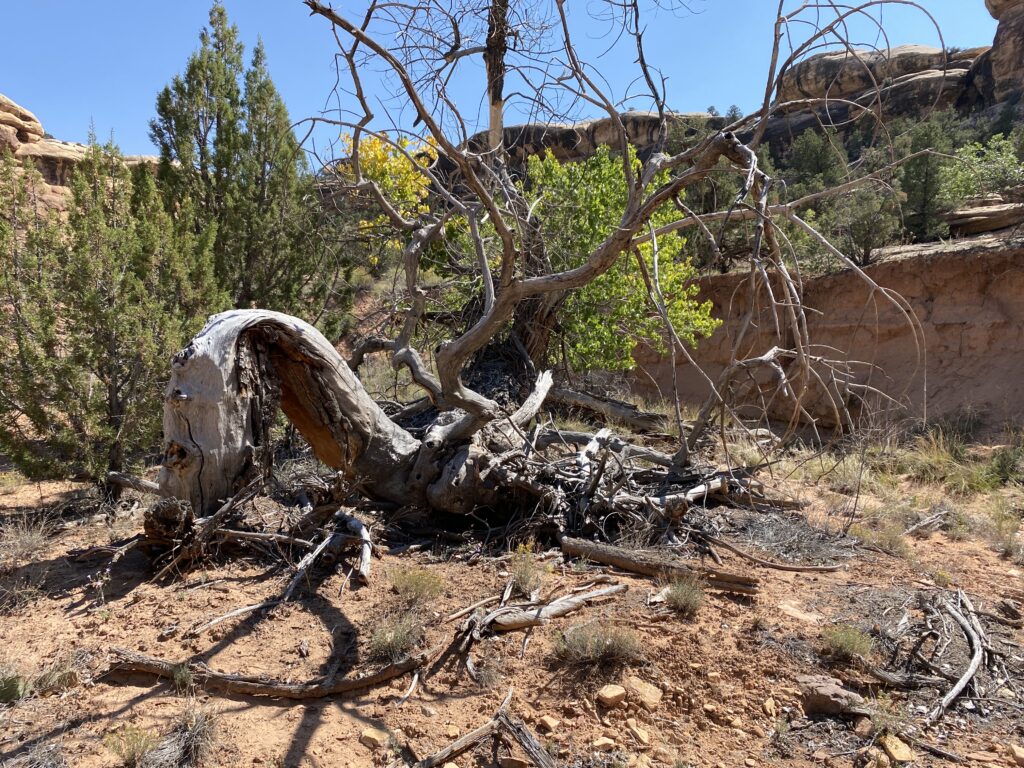
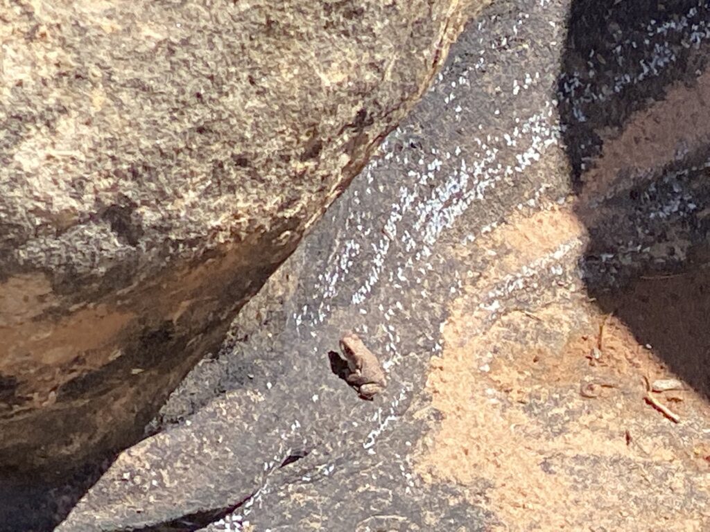
I started a rock climb on the Lost Canyon Trail that almost looked like someone had carved steps into the rock between the rock walls. Almost at the top of the steps, I saw a water puddle in the shade where a tiny frog called the puddle home. That little frog was tough to live in these conditions.
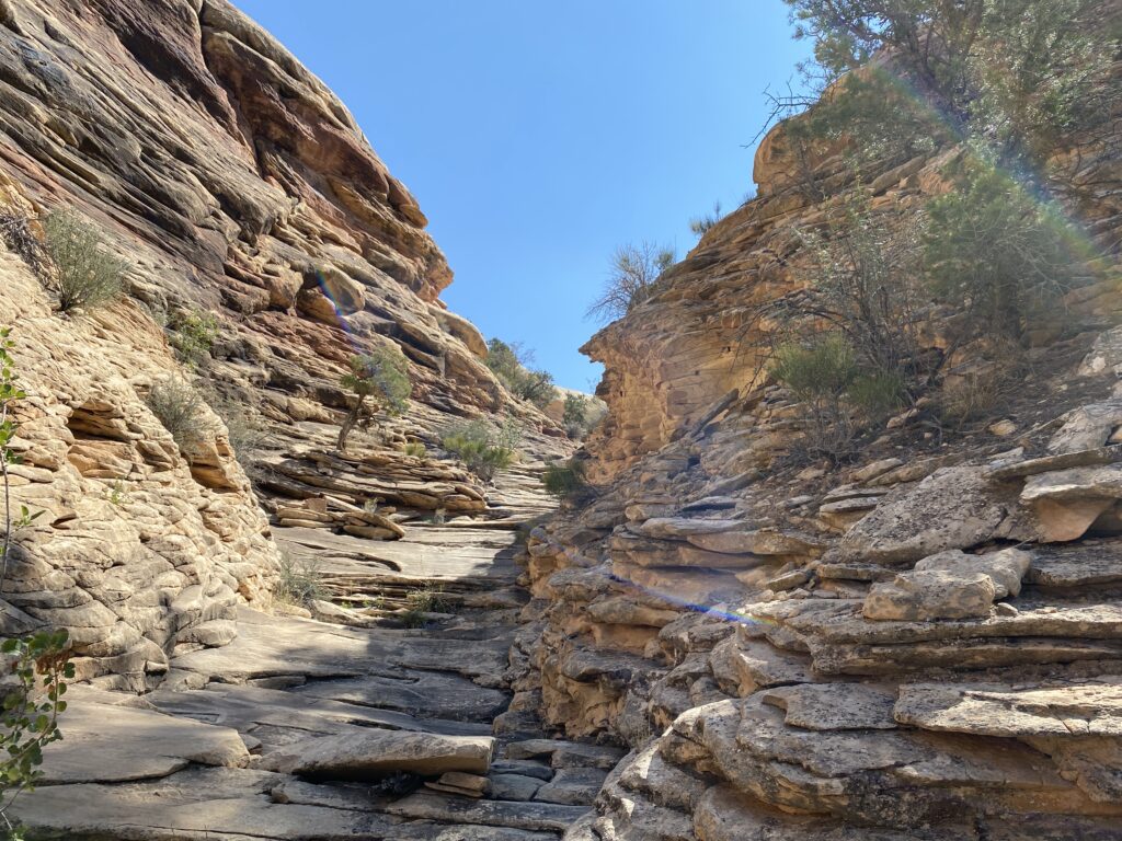
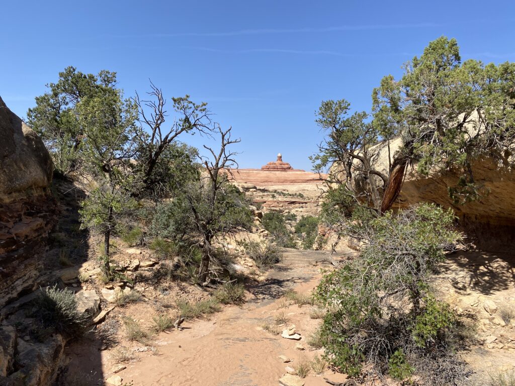
At the top of the “stairs,” I gradually climbed onto the slick rock. I followed the cairns along the smooth stone and got to a saddle. I sat down in the shade and drank some water. I could see the start of the Lost Canyon and cairns along the slick rock, but I was unsure how I would get into Lost Canyon. I knew that by following the cairns, the route would be revealed and would be the best way to descend.
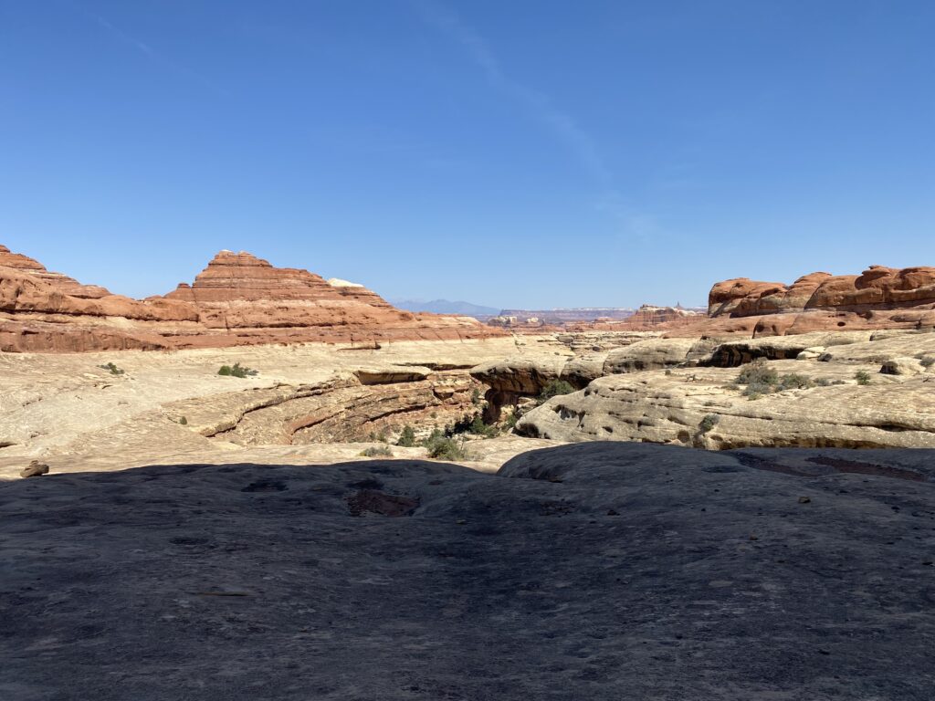
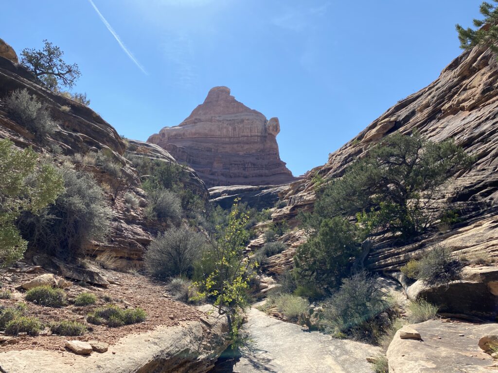
The descent from the slick rock into Lost Canyon was steep and treacherous but doable. I have an irrational fear of some heights, so I made more out of the descent than it warranted. When I got down, I felt it was easy and still felt a sense of accomplishment.
The trail in Lost Canyon must be the least developed trail in the NP. I constantly checked GAIA to ensure I was on the path because I felt I was somewhat bushwhacking. The problem was not knowing which way to go since going down a narrow canyon without side canyons is not complicated; however, hiking on the trail is usually the best way not to impact the environment and is faster than making your trail.
I came upon a vast area with small trees. Standing water in a few places indicates that this area has some regular water to support the vegetation. However, I had a problem. The problem was that the trail disappeared. There were some footprints from previous hikers but no clear pathway. I knew which way to head, but the brush blocked my way.
I backtracked for a few minutes and tried to follow what might be the trail. I stared at my iPhone and GAIA. According to GAIA, I was on the trail, but GPS signals always have some error, so being a few meters off is usually acceptable.
I climbed up to a short bluff, looked at GAIA, and down to the dry riverbed. I could now make out what I hoped was the path through the brush. I climbed down, and I was correct. I got out of the broad, dry, sandy riverbed full of small trees and brush and hiked down the canyon. The downside was the sandy trail, making the hike a slog. The walk was like going to the beach when one needed to hike across the soft sand to get closer to the ocean. It’s just that there was no ocean, and I was walking over a mile in the sand.
As I gradually got closer to my campsite, I resolved that if the camp was exposed and sandy, I’d hike the 2.6 miles back to my truck and go to a nearby BLM campground. I was tired of the soft sand that would never end.
I set up camp and cleaned up, thoroughly enjoying my campsite. Even though backpacking means getting dirty and staying dirty, I carry a few Wilderness Wipes to clean up each night, especially my feet. The Wilderness Wipes are like baby wipes but do not contain plastic and will decompose.
I made potatoes and tuna and drank ½ L of Liquid IV. I brushed my teeth and did a critter hang with my OutSak. (A critter hang suspends a food bag a few feet off the ground.) I got into my tent, listened to a few podcasts, and fell asleep.
I awoke after a good night. I may have mentioned that my UberLite air mattress has a small leak that I think is in the valve, so I did top it off once around 02:00. When I awoke, the temperature was 54 degrees. The hike out was only 2.6 miles, probably an hour’s walk. There would be some ascending. I ate a bar and a full breakfast when I got to the truck.
The Lost Creek Trail still had some surprises. After a mile, the trail reached a rock barrier along some slick rock. I climbed, got to a fixed metal ladder, and navigated using the cairns. The Lost Canyon Trail is fun! Even with the seemingly endless sand sections, the trail made me work in multiple ways – navigation, tricky ascents and descents, sand, heat, sand, excellent camping spot (LC1), sand, and sand.
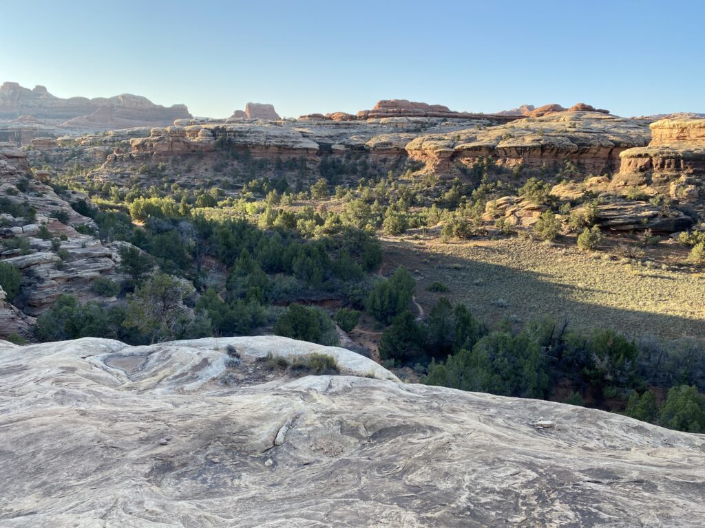
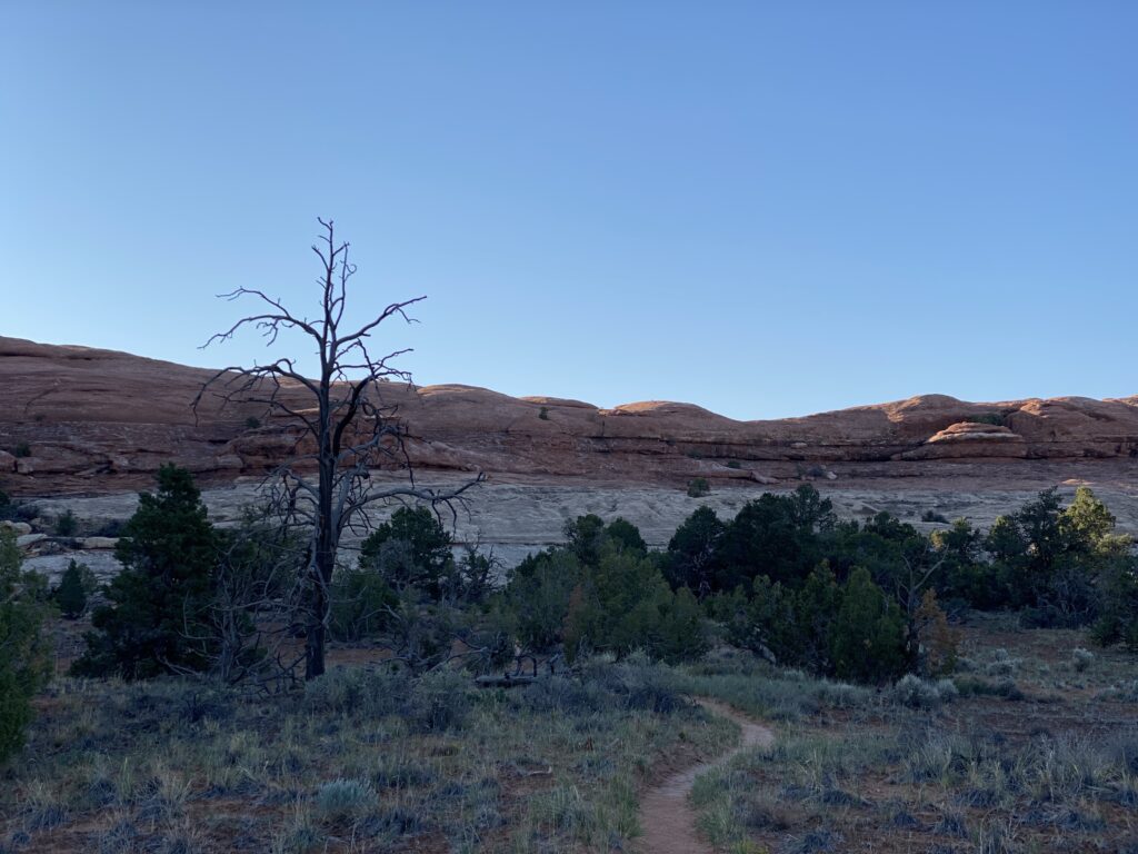
The remainder of the Lost Canyon Trail to the Squaw Flats TH went quickly. Once back at the car, I made some Oatmeal for breakfast and had a Coke.
Summary
The Lost Canyon part of the trip was the highlight. The scenery was fantastic on both the Lost Canyon and Chesler Park sections. Having done Druid Arch, Chesler Park, and Lost Canyon, I have experienced most of the Needles district. I would return to the Needles district but would like to find another area. Salt Canyon might be worth the effort.
Physically, I did okay. My fitness was good, although the routes did not physically push me. In the future, I will not force myself to take a night on the trail if I can make the course a day hike. When I plan the route and estimate the time, I can do anything less than a 6–8-hour hike may be done in a day. Instead, I’d hike more and see more than camp early and go on side hikes because I’d cover more terrain, i.e., out-and-back walks cover less landscape than making a loop.
My thin groundsheet tore in the winds. I need to get a thicker groundsheet, i.e., 1.0 mil instead of 0.7 mils. The groundsheet does protect my tent bottom and inflatable sleeping pad. I am getting better at using it.
I carried less water than usual, and I was fine. I was never thirsty.
I did well with food, keeping meals simple and bars that are not like candy, i.e., no chocolate. Having a bar in the morning and hiking before taking a break, and having breakfast is something I like. Liquid IV is a great electrolyte drink, even if it is heavier than Propel and has sugar. I dilute it with about ½ the serving for 0.7 L. I like Lemon-Lime most, and the Passion Fruit flavor was also suitable for a variety. Having a flavored drink with meals is more appetizing. Also, tortillas with nut butter are great for lunch and easy.
The forecast did not indicate the high wind gusts in Chesler Park. I had to adjust and deal with the blowing dust and sand.
My sun hoody was great, but it has started to have piles, so I am concerned that it is not durable. I have the Outdoor Research Echo Sun Hoody. The Mountain Hardware Sun Hoody is made of different materials, is just as light, and gives better sun protection.
Doing Bear Peak is excellent training for both physical and mental stamina. I want to keep doing the peak at least once a week as long as the weather holds. I need to start training with a pack weight of around 20 lbs. to increase the intensity.
I was very light but not ultra-light. I will get rid of my spare hiking clothes (i.e., shorts and shirt) and see if I can pack my sleep clothes, extra socks, and beanie in the bottom of my sleeping bag to eliminate the dry sack. I also want to lighten my tent and get an Altaplex to have more interior headroom and better ventilation. For these short stays, the 55L Arc Blast backpack is too large. I’d like to try getting a smaller Dyneema pack, less than 40 L, for short trips, as a day pack, and for training.
The hikes were too short of wanting to rest along the trail. The only rest stop was on the Lost Canyon Trail, where I sat in the shade, drank, snacked, and examined the route before descending into the canyon.
I tried an ibuprofen + diphenhydramine pill, and I slept well and did not wake up groggy. Instead of a single tablet, using two medications (ibuprofen and Benadryl) will eliminate a small bag of pills and give flexibility.
