Introduction
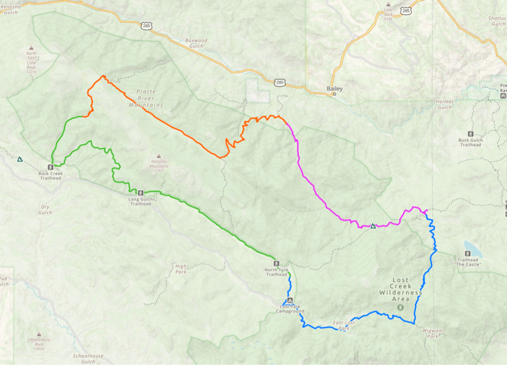
The starting point is the Rolling Creek Trailhead, just south of Bailey, which happens to be the start of Segment 4 of the Colorado Trail. The picture shows the route for all four days. Blue is the first day, Green is the second day, Orange is the third day, and purple is the fourth day.
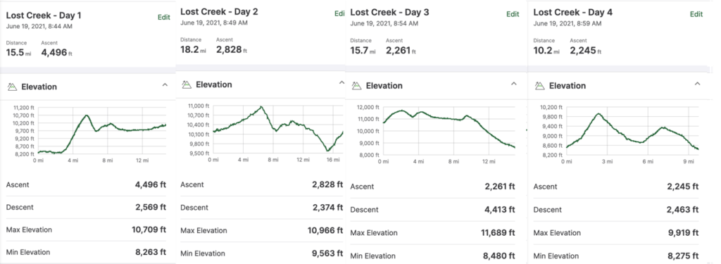
All four days had challenges. The first day had many ascents and left me slightly depressed, seeing I took the wrong trail from the start and discovered that after 2.5 hours. I did not want to backtrack, so I adjusted. Psychologically, I was disturbed because I was stupid. From studying the possible routes, I estimated that there would be an increase in expected distance by 10-12 miles. I planned for four days and 50 miles, so I had supplies to last. I tried to look at the positive that I would not be doing a lollypop.
Estimates vs. Actuals
I estimate my time and effort on the trail to plan for food and water for some hikes. I used the estimate of 2 mph plus 30 minutes for every 1000 feet of ascent. This estimate worked well for the first long-distance trip of the year. The actual time includes time to rest, get water, ascend, and descend, which I find almost as slow as climbing. I was concerned that slow descents would impact my estimates, and slow ascents, where I sometimes go very slow, would also impact my estimates. My calculations are surprisingly reasonable.
| Miles/day | Total miles | Feet of ascent | Estimated time (hrs) | Actual time (hrs) | % difference |
| 15.5 | 15.5 | 4,496 | 9.998 | 9.5 | -5.0 |
| 18.2 | 33.7 | 2,828 | 10.0935 | 9.5 | -5.8 |
| 15.7 | 49.4 | 2,261 | 8.9805 | 9 | 0.2 |
| 10.2 | 59.6 | 2,245 | 6.2225 | 5.5 | -11.5 |
In most cases, I was conservative with my estimate. On the fourth day, I was going to a lower altitude and was excited about having an ice-cold coke, so my pace exceeded the guesstimate.
I took many short breaks instead of long hiatus because of the mosquitoes. My body, appetite, and perhaps pace would have been better with at least an extended mid-day break.
In hindsight, I need to be more aggressive and trust that I can find locations to camp. I looked for places in an ad hoc way. I was concerned about water and finding a level location to camp. Considering that I moved to a campsite at 22:00 and never ran out of water, I needed to read the map and put more time on the trail. I did think about night hiking on the third day to finish at night, but that would have me at the trailhead at 22:00 and likely exhausted. I chose not to do that and was happy with that decision.
After the mistake on the first day, I checked the route every 15 to 30 minutes. I would take 30 steps on steep ascents and rest for 30 seconds. I would face the breeze on these strenuous ascents if there were one. Several rocky descents, particularly on the third day, were long and slow because of the tricky footing. These techniques and concerns did not impact my estimates.
Day 1
I got to the TH around 10:00 and started hiking. I was excited! I came across two older couples resting on the way back to the Rolling Creek TH as I climbed the primary climb. They were doing the same hike, but they did it counterclockwise. They said that they did get slightly lost and had to bushwhack once. They did not see any bear evidence but did see a moose. I did not catch their names. Their manner tried conveying superiority, but maybe they were happy to be on the way out after five days. I was glad to move past them.
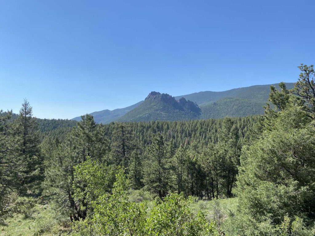
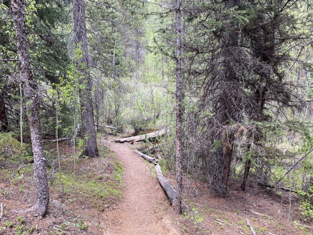
I passed ten high school kids as I headed down to the Wigwam Trail. They were nice and friendly, but they were loud. I wanted to get past them quickly. I was not sure they all were excited about being out in nature because a few were quiet. A mile or so later, at the intersection of the Rolling Creek Trail and the Wigwam Trail, I saw their camp with bivy tarps for each of them. I hiked another hour and got water at Wigwam Creek.
Near the intersection of the Wigwam Trail and Lost Creek, I passed a couple who muttered that I had a long way to go. Weird statement since they had no idea where I was going, and the Lost Park campground was just 3 miles away. Perhaps I misunderstood them. I think it is best to look them in the eye, be friendly, and greet them. Trying to carry on a conversation while walking in opposite directions is futile.
I got to the Lost Park Campground and Trailhead. I tried to get water from the well at the campground, but it was dry, or I did not pump long enough. I thought about staying at the campground, but since the pump did not work and the campsites cost money, I hiked up the Brooks-McCurty trail along the North Fork of Lost Creek. I got water at a convenient place and found a place to spend the night, even though the mosquitoes were annoying.
The mosquitoes were out, but I set up camp and forced myself to eat some chili. A coyote barked at me, and I whistled back. I think the coyote was asking what I was doing. Later that night, a coyote’s howl woke me as a plane droned overhead on its approach to Denver.
Day 2
I got up and looked forward to hiking a mile or so to intersect the Colorado Trail, and then I would be back on my planned route.
I met Diane and Isadore from Fort Worth at the North Fork TH. They were through hiking the CT. They had stayed the night at the TH and were starting their day. We were heading in the same direction, and we stopped to chat. They were very nice ladies and complained that they were stiff. They planned on hiking until 13:00 and resting during the day’s heat. They were still getting used to the altitude.
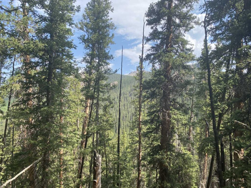
I met another CT through hiker when I stopped for a morning break. I did not catch his name, but we leapfrogged each other as we hiked until the intersection of the CT with the Ben Tyler Trail. He was from Salida and was a seasoned backpacker. He was in his forties. Since he started five days ago, in early June, I asked him if he thought the snowpack in the San Juan Mountains would be high. The general rule is that CT through hikers start after July 1 to ensure the snowpack is gone. Starting later in July, there is a danger of not having water sources. He said that he had studied snowpack estimates, did a few recon hikes, and said that the heat and low snow levels had made snowpack a nonissue. If I start in mid-July, I may not have water! I need to check Guthook and any trail reports before I start.
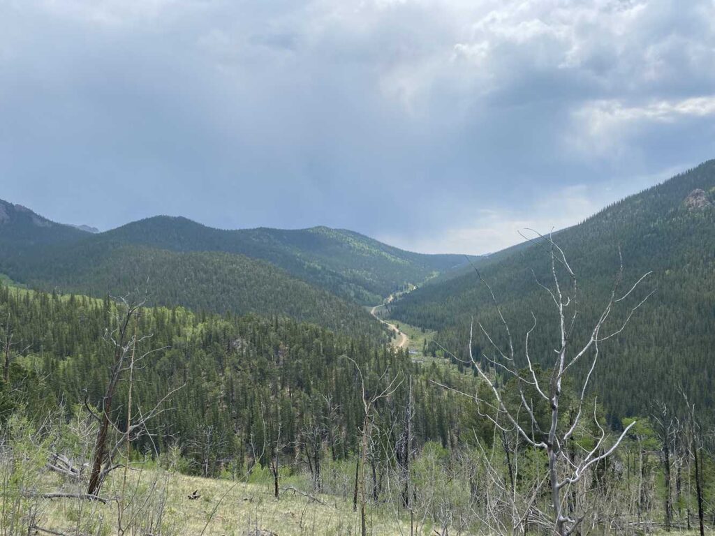
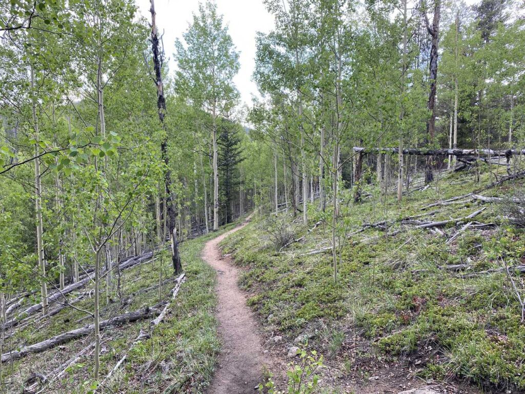
Because I was hot and tired, I stopped and found a place to camp off the Ben Tyler Trail. The mosquitoes were aggressive. I set up camp and hid in my tent from the bugs. I thought there was not much slope, but I was wrong. I did trail laundry, ate crackers and peanut butter, and had a protein drink. My back started hurting, and my legs were cramping. I was probably dehydrated. I drank more water but could not get comfortable lying in my tent.
Finally, at 22:00, I changed my campsite to a more level location, did some sumo squats to stretch my hamstrings, and took some ibuprofen. I slept well.
Day 3
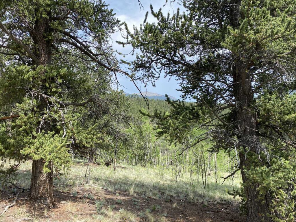
Having slept well and without any stiffness, I was excited to hike. I made some cheesy potatoes for breakfast and had coffee. The initial part of this day would get me above 11,700 feet, the highest point on my route. I would also turn to the Craig Park Trail, which heads to the Rolling Creek TH, where I started. I was excited.
The climb was challenging, but the top views were terrific. I descended slowly to Craig Park and ran into a woman with her dog. It was her first backpacking trip of the year, and she was checking out the area for a more extended backpack in a few weeks.
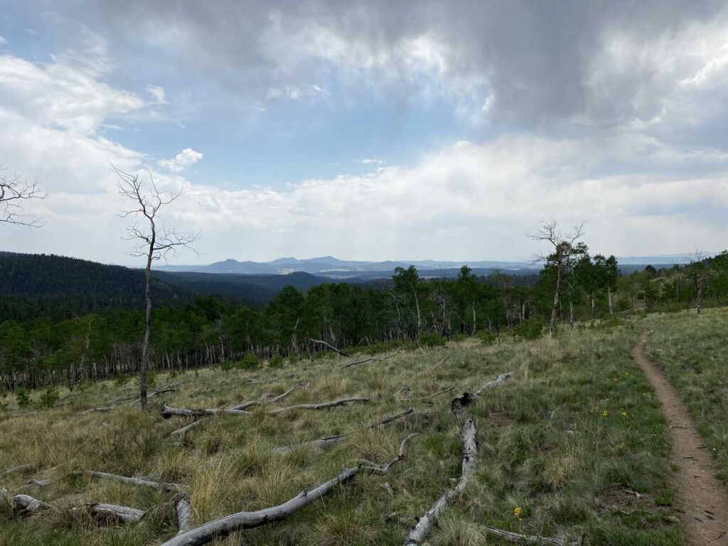
The Craig Park Trail descended into a small, exposed valley, which was hot. Soon it became overcast, so the blazing sun was hidden. I got water at Craig Creek before the Brookside McCurdy Trail, another climb, and then rocky descent down to under 9000 feet. I was concerned that my hiking time estimates would be wrong because my descending was slow. I got on the Payne Creek Trail, another milestone on my way back to the car.
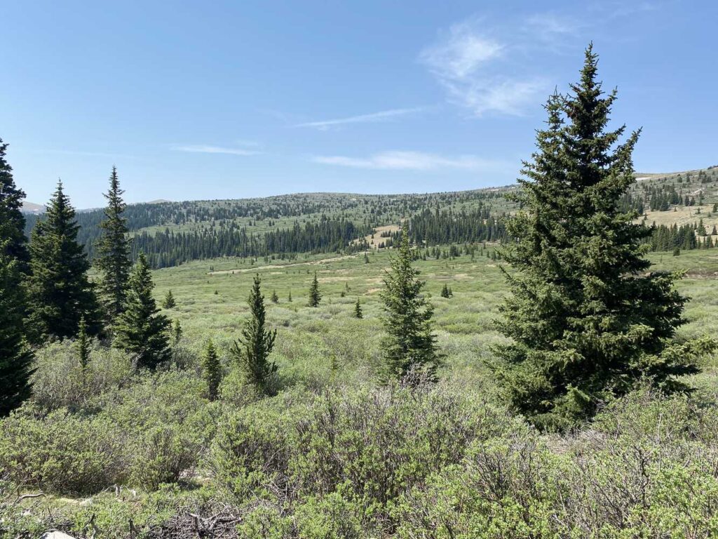
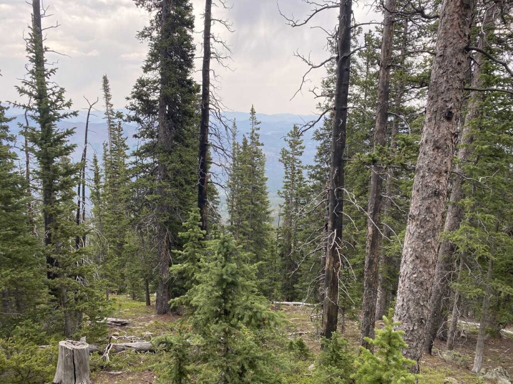
I was not confident that I could find a good campsite. I estimated I would have a 10-mile hike to the car, and the last two miles would be a night hike. The walk would require more climbing, and I was tired and thirsty. I found an excellent spot to camp near a creek with few mosquitoes. If I continued, the terrain would be rough for 3-4 miles. Therefore, I stopped early. I forced myself to eat some couscous. I had a protein drink and drank water.
I estimated I was 6 hours away from the TH and resolved to get up early and hike out, hopefully by 13:00.
Day 4
I slept well and broke camp early as I was excited. I had coffee and hit the trail. There were a few challenging climbs. Mosquitoes came back and harassed me when I stopped. There were groves of bright green Aspens, and generally, the trail was a descent, which helped me keep pace.
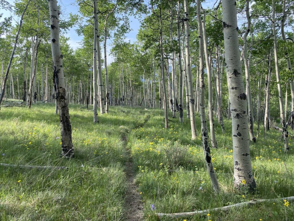
In the last 3 miles, I ran into two women on horses with five dogs. I gave them the right of way and stood off the trail on the downhill side to not worry the horses. They had big smiles and were real cowgirls. A mile and a half later, I saw two guys in their twenties doing the CT. They still had their baggage check stickers from the airport and big, heavy packs on a hot day. I said hello and hiked past.
Within a half mile of the TH, I saw a chunky guy smiling ear-to-ear. Because I was descending, I gave him the right-of-way, and we said hello. I was happy because I was thinking about an ice-cold coke within sight, and he was delighted to be on the trail. The women on horses and this guy brighten my day because they enjoy life and are happy to be here and alive. Very positive.
When I saw the car at the TH, I was grateful it was in one piece, albeit covered in pollen. In Bailey, I stopped and got a Subway sandwich (not satisfying), coke, and water. On the drive home, I thought about the fun. There were Type 1 moments., for example, the morning of Day 2 with the views and Day 4 with the descent through Aspen groves. There were plenty of Type 2 fun moments. For example, I developed a better technique to descend rocky areas by keeping my trekking poles in front of me and moving them quickly. I was also happy about my on-trail estimates using the topo maps and seeing the miles tick off. There were Type 3 moments with the ascents and mosquitoes. Not all inclines are Type 3 fun because sometimes the climbs brought me amazing views that not many people see.
Once I returned to Boulder, I took a shower, ate some ice cream, turned on the AC, and fell asleep early.
Take Aways
Bugs
The mosquitoes were more than irritating. For two of the nights, I was eaten alive. Furthermore, I had 30 seconds before the mosquitoes came to feed whenever I stopped to rest. I exacerbated this by wearing shorts and a short-sleeve shirt, which provided the bugs with more surface area to feed. I brought Picardian lotion in a wide mouth 1-ounce container, partially filled. I did not have enough Picardian. I can do better by treating my clothes with Permethrin, carrying more Picardin, and wearing long pants and a long-sleeve shirt.
Tent
I used Shepard hook stakes instead of v-stakes on this trip. The Shepard hook stakes worked well. I kept one flap on each vestibule open at night and was comfortable with no moisture in the tent. I sprayed Permethrin on my tent screen before leaving, which may have helped keep mosquitoes from entering my tent when I undid the tent doors to enter and exit the tent.
Pack
I used a Nylopro bag for a pack liner, putting my quilt and pillow dry sack at the bottom of my pack, spare clothes dry sack next, and the sleeping pad folded into the Nylopro. I slipped the sleeping pad between the sleep system and extra clothes dry bags along the back of the pack. I put items that could get wet on top of the Nylopro bag, such as my cook pot, stove, fuel, sunglasses case, and tripod (which I should use more and keep in a side pocket.) Next was my food bag and a hanging kit, which I attached to my food bag. Last, I put my rain pants and puffy into the pack and sealed it up.
I put a SmartWater bottle and snacks for the day in the side pockets. I set my shaker bottle, the tripod, and snacks in the other.
I put my water filter, purification drops, headlamp, and bug head net in one topside pocket. In the other topside pocket, I put hand sanitizer, a trowel, a bidet, and a rain top.
I attached my InReach Mini with a carabiner and my phone carrier on one shoulder strap. On the other shoulder strap, I carried a SmartWater bottle. I tried attaching a bandana on this strap, but it got in the way and was not helpful on the trail. Instead, I should carry a Light-Load towel to wipe off sweat, clean my face and glasses, and wrap this around my neck.
I attached my tablet pouch using carabiners to my left belt and put my wallet, keys, sunscreen, lip balm, map, notepad, and pen into it. I no longer stressed about where my keys and wallet were.
